Illustrated Bible Maps - Bulk Case of 32
Illustrated Bible Maps - Bulk Case of 32
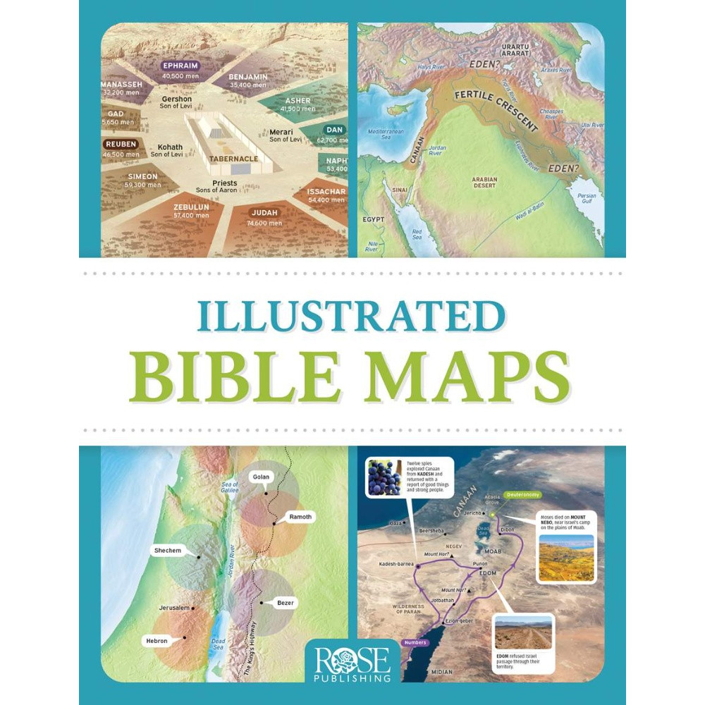
- Contains over 100 detailed Bible maps and illustrations covering chronological journey from Old Testament to New Testament
- Spans 184 pages with comprehensive coverage from Abraham's Mesopotamia to Revelation's seven churches in Asia Minor
- Features beautiful Holy Land photographs, historical diagrams, and visual documentation of ancient empires including Assyria, Babylon, and Persia
- Includes concise biblical timelines for each chapter to help readers follow God's work throughout biblical history
- Published by Rose Publishing with detailed geographical references showing locations of major biblical events like Noah's ark, the Exodus route, and Paul's missionary journeys


